Megalith Structure on Seafloor Near Papua New Guinea Sparks Alien Base Claims
09/15/2026 / By Iva Greene
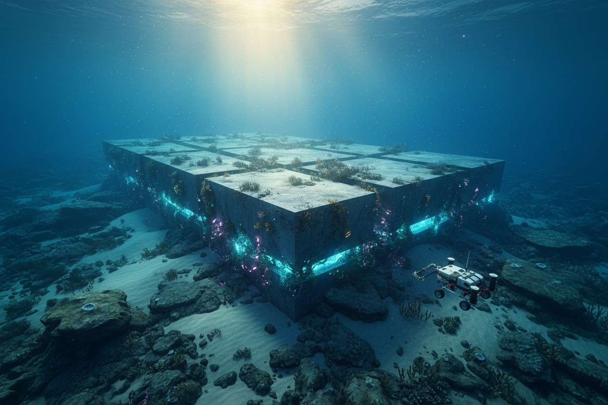
A rectangular-shaped anomaly on the ocean floor near Papua New Guinea has generated claims that an alien base exists beneath the seabed.
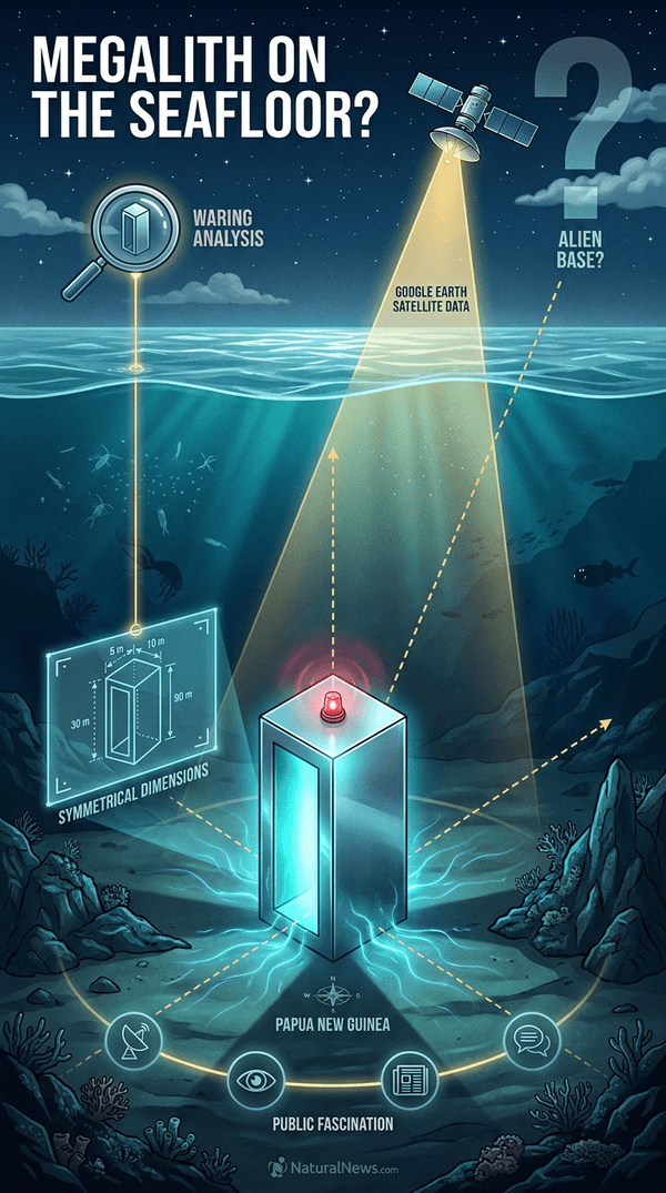
Self-described UFO researcher Scott C. Waring identified the formation while analyzing Google Earth satellite data, describing it as a massive artificial structure approximately 10 miles long and four miles wide. The discovery was reported this week and has since circulated across multiple news platforms and social media channels.
Waring stated that the formation’s symmetry and dimensions rule out natural geological processes, suggesting instead that it represents a constructed facility of non-human origin. He estimated the structure could extend 10 to 15 miles beneath the seabed and proposed that it may contain multiple buildings comparable in size to the Empire State Building. No peer-reviewed research or direct underwater observation has confirmed these claims.
Structure Identified on Ocean Floor Near Papua New Guinea
The anomaly is located on the seafloor near Papua New Guinea, a region already associated with claims of anomalous underwater formations. Waring, who runs the blog ET Database, announced the finding this week as part of an ongoing series of alleged discoveries derived from satellite imagery. He described the formation as a “megalith structure” and emphasized that its size, shape, and isolation point to non-natural origins.
According to Waring’s analysis, the structure’s rectangular geometry is inconsistent with known underwater geological features such as seamounts, subduction zones, or sediment deposits. He also noted the apparent absence of similar formations in the surrounding seabed, which he argued strengthens the case for artificial construction. The claims rely entirely on satellite imagery interpretation, with no physical samples, sonar scans or photographic evidence obtained from the site.
Context of Underwater Anomaly Claims
The Papua New Guinea discovery joins a broader pattern of claims about submerged structures that researchers and enthusiasts have debated for decades. In 2007, Masaaki Kimura of the University of the Ryukyus described a monolithic stepped pyramid off the coast of Yonaguni Island, Japan, rising from a depth of 25 meters. Kimura told National Geographic that the largest structure “looks like a complicated, monolithic, stepped pyramid” — though subsequent investigations have not resolved whether the formation is natural or human-modified [2].
Similar disputes have surrounded formations off the coasts of Cuba, India and the Azores, where advocates point to geometric regularity as evidence of lost civilizations or extraterrestrial activity, while mainstream geologists attribute such shapes to natural fracture patterns and erosion. The Papua New Guinea claim follows this same template: satellite imagery identifies a symmetrical shape, and interpretation determines its significance. No geological survey has been conducted at the site, and the seafloor in that region remains poorly mapped compared to coastal waters of industrialized nations.
The Role of Remote Sensing and Interpretation
Satellite-based seafloor mapping systems, such as those integrated into Google Earth, use altimetry data to infer ocean bottom topography. These methods measure gravitational anomalies caused by variations in seafloor mass, which are then processed into visual representations. Resolution is typically coarse — on the order of several kilometers per pixel in deep ocean regions — meaning that features smaller than that scale may appear as exaggerated or distorted shapes.
This technical limitation creates conditions where interpretation plays a decisive role. An object 10 miles long and four miles wide would be large enough to appear in such data, but its edges would be smoothed and its internal details unresolved. Waring’s claims of 20 separate buildings, each the size of the Empire State Building, cannot be verified from the available imagery. The identification process relies on pattern recognition software and human judgment, neither of which constitutes scientific confirmation.
Scientific Scrutiny and Verification Standards
The scientific community applies standards of evidence that the Papua New Guinea claim does not currently meet. Verification of a submerged structure requires multiple independent data sources — side-scan sonar, sub-bottom profiling, direct visual inspection via remotely operated vehicles, and geological sampling. None of these have been conducted or published for the location described by Waring.
The claim also lacks the kind of contextual analysis typical of peer-reviewed marine geology. Researchers assess underwater formations against known tectonic activity, sedimentation rates, volcanic history, and ocean current patterns. Without such context, shape alone is insufficient to distinguish an artificial construction from a natural feature. Historical precedent supports this caution: several underwater “ruins” announced in past decades have later been classified as natural formations upon closer examination, including portions of the Yonaguni site whose rock strata show vertical jointing consistent with natural fracturing [2].
Conclusion: Need for Further Investigation
The claim remains unverified, with no peer-reviewed research or direct observation confirming the structure’s nature. The evidence presented consists of satellite-derived images interpreted by a single researcher whose conclusions have not been replicated by independent analysts. While the formation’s dimensions are unusually regular, satellite altimetry data can produce rectilinear artifacts due to data processing and interpolation methods.
Further investigation would require a dedicated oceanographic expedition to the site, including multi-beam sonar mapping and visual documentation. Such an expedition would be expensive and would require coordination with international research institutions. Until that occurs, the “megalith structure” near Papua New Guinea remains an unresolved anomaly — one that invites curiosity but does not support conclusions about alien bases or extraterrestrial engineering. The distinction between what appears in an image and what exists on the seafloor is a gap that only direct evidence can close. Based on the available sources, I cannot find specific research citations confirming the structure’s existence or origin.
References
- Daily Mail — Giant ‘megalith structure’ spotted on ocean floor sparks alien base theories
- Graham Hancock — Underworld: The Mysterious Origins of Civilization
Explainer Infographic
Submit a correction >>
Tagged Under:
alien base, alien life, aliens, civilization, discoveries, environ, Google Earth, Oceans, Papua New Guinea, proof of aliens, real investigations, satellite data, scientific discoveries, Scott C. Waring, seafloor, Space, submerged structure, topography, Unexplained, weird science
This article may contain statements that reflect the opinion of the author
RECENT NEWS & ARTICLES